1.800.833.7958
► Español
► 中文
Geophysical Measurements
The quality of groundwater is highly variable and groundwater contamination may be caused by man-made or natural sources. Integration of borehole-geophysics logging with water-quality sampling provides a more complete picture, whether the objective is to develop a water-supply well or remediate a contaminated aquifer.
Wells are the access points to the groundwater system, and knowledge of their construction and condition are important whether they are being used for groundwater supply, monitoring, or remediation. The location and condition of casing and screen can be rapidly evaluated with geophysical logging.
Geotech offers instruments and software for recording and analyzing measurements of the geophysical properties of wells and boreholes.
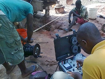
Delta Epsilon Portable Borehole Loggers |
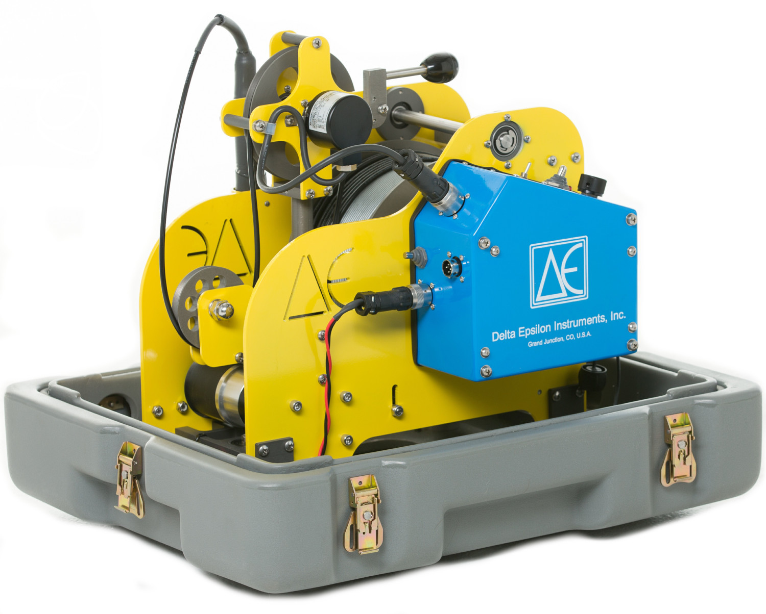 |
Delta Epsilon's borehole loggers offer versatile and efficient solutions for subsurface data collection. From the compact and portable 1-Series to the robust 3-Series and advanced 6-Series, these loggers cater to diverse geological and environmental applications, providing precise and reliable results.
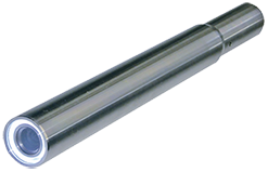
Delta Epsilon Borehole Probes |
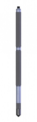 |
Delta Epsilon's borehole probes are precision instruments designed for comprehensive subsurface data collection. These meticulously engineered probes offer accuracy and reliability in measuring temperature, pressure, and other critical parameters, making them essential tools for geology, hydrology, and environmental professionals.
Magnetic Locators |
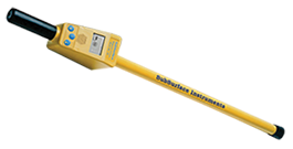 |
SubSurface Model ML-1 Series & ML-3 Series Magnetic Locators
Make finding buried metal objects easier with the most sensitive and ruggedly-built ferromagnetic locators available. Locate steel well heads, survey pins, iron pipes, manhole covers, and other ferrous objects hidden under pavement, grass, or snow.
Call 1.800.833.7958
SubSurface Instruments Model ML-1/ML-1M & ML-3S/ML-3L Specifications
SubSurface Instruments
Model ML-1 and ML-1M Instruction Manual
SubSurface Instruments Model ML-3S and ML-3L Instruction Manual
Geotech |
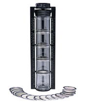 |
Grain-size analysis is used for studying soils, sediments, sands, or rock by determining size, distribution, and proportion of selected particles.
The Geotech Sand Shaker is a manual sieve kit designed to provide reliable grain size analysis. It features 20 stainless steel screens ranging in size from US Sieve No. 4 to 270. The sample is placed into the top of five clear acrylic cylinders, shaken to distribute particles, and volumetric percentages are indicated on the Shaker frame for quick and accurate gradation.
Laval |
 |
Laval SC-350 & SC-500 Borehole Cameras
Downwell camera systems are portable video devices designed to inspect water wells and boreholes. The Laval SC-350 and SC-500 borehole cameras are portable systems for water wells and boreholes from 2 inches (5 cm) to 10 inches (25 cm).
Call 1.800.833.7958
Laval SC-350/SC-500 Specifications
Laval SC-350/SC-500 Operations Manual
Laval Monitor/DVR Quick Start Guide
Geotech |
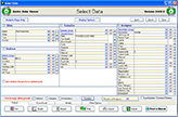  |
Enviro System Software is an environmental data management and statistical analysis software suite that is powerful, affordable, and easy to use. From planning sample events to creating tables and maps for reporting - GCS Enviro System Software is a professional-grade tool that saves time while improving data quality, site management, and reporting tasks.
Enviro System Software Add-Ons:
- Enviro Data® a local network data storage management system
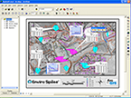
- Enviro Spāse® is a Geographical Information System (GIS)
- Enviro Portal is an online website for viewing shared data sets
- Enviro Cloud allows you to work from the Cloud with full Enviro
Data® functionality
Call 1.800.833.7958
Geotech Environmental Equipment, Inc.
2650 East 40th Avenue
Denver, CO 80205
© 2023 Geotech Environmental Equipment, Inc. All rights reserved.


| Our Company | Sales & Service | Events | Stay Connected | |||
|---|---|---|---|---|---|---|
| Geotech Manuals | Contact Us | Geotech Field Days | ||||
| Distributor Manuals | Service Centers | Tradeshows | Newsletter Sign-Up | |||
| History | Warranty & Returns | Photo Competition | ||||
| Vision | Credit & Terms | |||||
| Community | ||||||
| Press Releases | ||||||
| Careers |